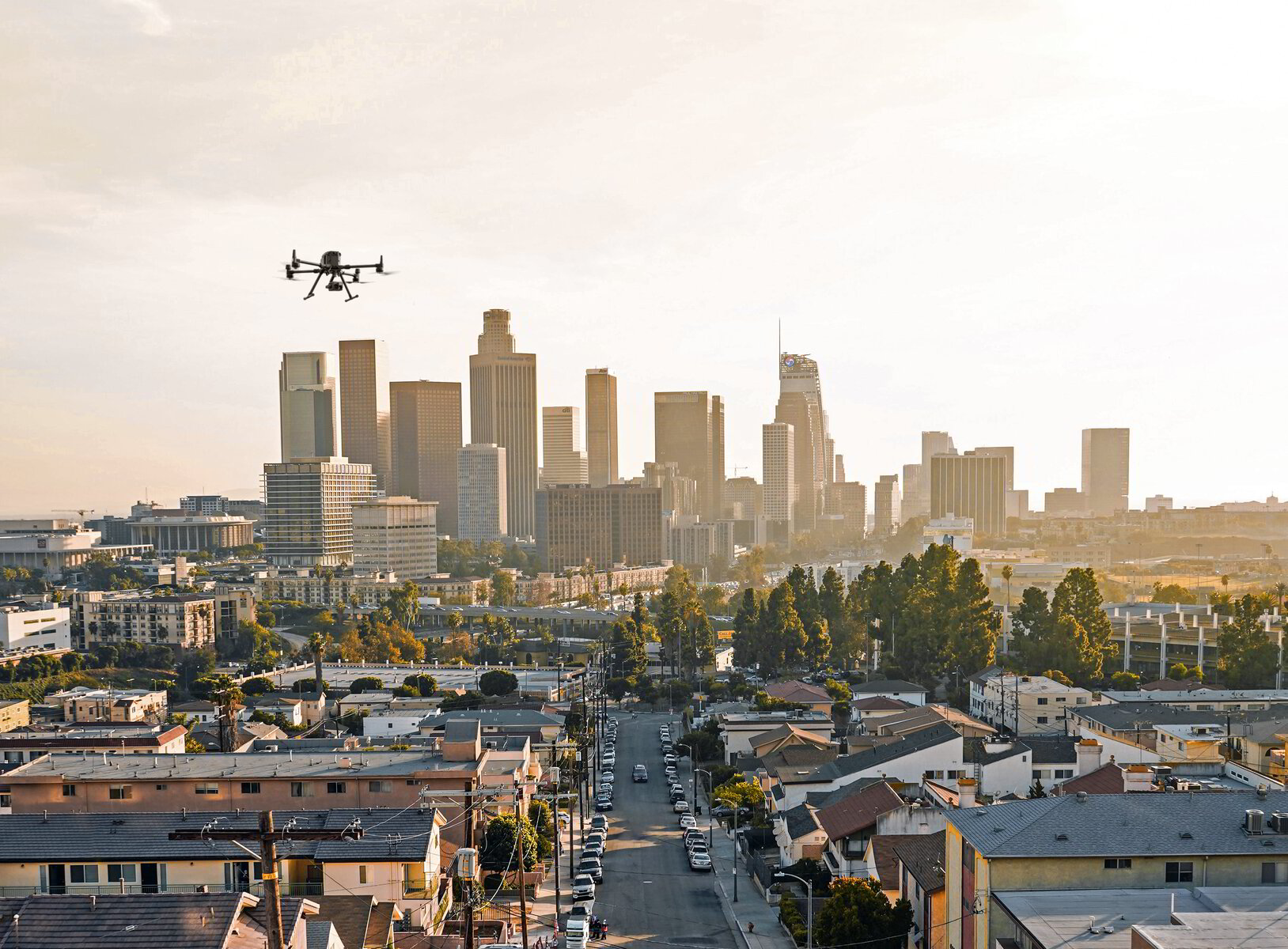
Irvine is master-planned commercial real estate at national scale: the Irvine Spectrum, the airport-area office towers, and research parks that hold one of the largest concentrations of corporate campuses in Southern California. Add the ongoing build-out of the Great Park neighborhoods and you have a market with continuous demand for aerial documentation.
We photograph office and industrial assets for institutional portfolios, provide recurring progress flights for Great Park–area residential and commercial construction, and deliver mapping outputs for the large, flat sites that make Orange County ideal drone-mapping terrain.
Our Services in Irvine
Real Estate Photography
Stunning aerial views that sell properties faster
Construction Mapping
Document progress and create accurate site maps
Roof & Infrastructure Inspections
Safe and detailed aerial inspections
Flying in Irvine: Airspace Considerations
Western Irvine near John Wayne Airport falls within Class C airspace requiring LAANC authorization at managed altitudes, while much of central and eastern Irvine — including the Great Park area on the former El Toro air station — is comparatively unrestricted. Weather is the easy part: Irvine's inland position avoids most marine-layer delays that affect coastal shoots.
Where We Fly in Irvine
- Irvine Spectrum district
- John Wayne Airport office corridor (coordinated airspace)
- Great Park neighborhoods build-out
- UCI area research parks
Serving Irvine and the wider Southern California — learn more about Los Angeles Drone Pro or request a free quote for your project.