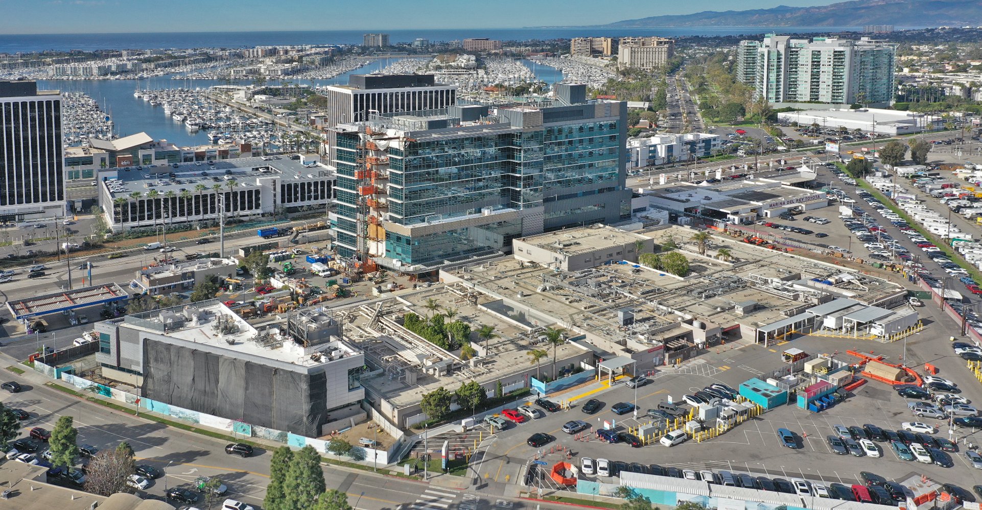
Aerial Intelligence for LA Construction Projects
Los Angeles is one of the nation's most active construction markets, with complex projects ranging from seismic retrofits to massive mixed-use developments. In this competitive environment, construction professionals are turning to drone technology for faster site surveys, more accurate progress tracking, and better stakeholder communication.
We work with general contractors, developers, civil engineers, and project managers throughout Los Angeles County, delivering the aerial data and documentation they need to keep projects on schedule and on budget.
What Construction Professionals Need
We've worked on hundreds of LA construction projects and understand your priorities:
- Accuracy — Survey-grade mapping with known precision for earthwork calculations and site documentation
- Reliability — Consistent data collection on schedule, aligned with your project milestones
- Fast Turnaround — Processed deliverables returned quickly so you can make timely decisions
- Integration — Data exports compatible with your existing software and workflows
- Safety — Document site conditions without putting personnel in hazardous areas
Construction Drone Services
Site Surveys & Existing Conditions
Before breaking ground, establish accurate baseline documentation of existing conditions. Our drone surveys capture topographic data, existing structures, vegetation, and site features—creating a record for comparison throughout construction.
Progress Documentation
Regular aerial documentation captures your project's evolution. Bi-weekly or monthly flights provide visual progress records for stakeholder updates, draw requests, and historical documentation. Compare current conditions to plans and previous states.
Orthomosaic Mapping
High-resolution, georeferenced maps from hundreds of overlapping drone images. Measure distances and areas directly from the map. Overlay on CAD drawings or GIS systems for planning and analysis.
3D Models & Point Clouds
Photogrammetric 3D reconstruction of your site, structures, and surroundings. Export to BIM software, create fly-throughs for stakeholder presentations, or compare to design models.
Volumetric Analysis
Calculate stockpile quantities, cut/fill volumes, and earthwork progress with drone-derived elevation data. Verify subcontractor quantities and track material usage over time. Accuracy often exceeds traditional survey methods.
LA Construction Expertise
Los Angeles construction has unique characteristics we understand:
- Hillside Development — Complex grading on steep terrain requires specialized flight planning and accurate volumetric calculations
- Seismic Requirements — Documentation for seismic retrofit projects common throughout LA's older building stock
- Urban Sites — Tight urban lots and high-rise projects in controlled airspace require experienced pilots and proper authorization
- Regulatory Documentation — Imagery and data suitable for city plan check, building department submittals, and permit applications
Recurring Flight Programs
For projects with ongoing documentation needs, our recurring flight programs offer:
- Scheduled Flights — Pre-planned flights aligned with your project schedule
- Consistent Deliverables — Same data products every time for easy comparison
- Priority Scheduling — Guaranteed availability when you need milestone documentation
- Volume Pricing — Reduced per-flight costs for ongoing relationships
- Progress Dashboard — Online portal to view and compare documentation over time
Software Integration
We deliver data in formats compatible with your existing tools:
- Procore, PlanGrid, Autodesk Construction Cloud
- AutoCAD, Civil 3D, Revit
- ArcGIS, QGIS, Google Earth
- Standard formats: GeoTIFF, LAS, DXF, OBJ, PDF